
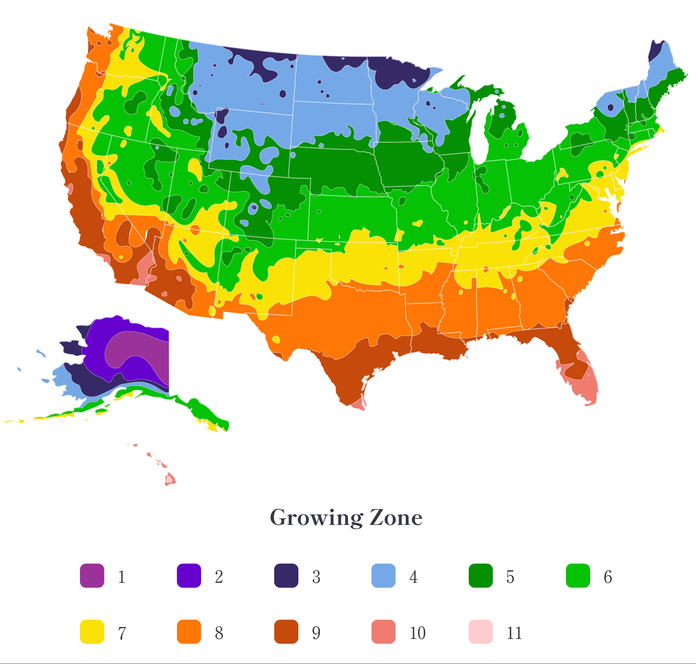
With countless microclimates packed into one state, California requires more intricate planting zone maps than typical regions. Complex color-coded maps like those created by Sunset Magazine divide the state into 24 hyper-localized zones. The region’s ecological diversity depends on this level of climate detail. Over 160,000 square miles of California lie between subarctic and subtropical latitudes. Dramatic elevation changes, valleys, coastal terrain, and deserts create distinct regional climates. Generalized national zone maps fail to reflect this geography. Microclimate-based maps are a must.
Captures coastal influence
Proximity to the Pacific Ocean introduces key factors like humidity, fog, salt air, and moderated temperatures. Coastal influences change rapidly within miles. Detailed maps recognize how the ocean shapes regional growing conditions. A universal map overlooks coastal nuances. California has desert and Mediterranean zones side-by-side due to the rain shadow effect. Mountains block inland-moving moisture. Drier areas need separate consideration from rainy coastal neighbors. Pinpoint mapping conveys precipitation patterns. Densely populated cities see upticks in temperature that allow for exotic plant varieties. Rural areas just miles away differ. Precise zoning shows heat islands not depicted in national maps.
Explains extreme elevation variance
California has elevations from 200 feet below sea level to 14,000 feet above. High elevations experience dramatic weather changes. Impacts are transmitted at specific altitudes through zone modifications. The soil types of California range from alkaline desert soils to coastal sands to semi-arid clays. Intricate maps reflect hyperlocal soil differences. Small valleys, buildings, and bodies of water create microclimate bubbles permitting less hardy plant varieties. A detailed map identifies these climate anomalies.
- The varied climate zones of California allow growers to cultivate an incredibly diverse range of crop varieties that would not thrive nationwide.
- The moderating effects of the Pacific limit how far inland freezing winters extend in California compared to states at similar latitudes farther east.
- The frequent wildfires across California alter microclimates and zone conditions for nearby areas through impacts on sunlight, wind patterns, and smog accumulation.
- California’s extensive system of reservoirs, aqueducts, and canals for transporting water statewide has implications for available moisture in certain zones.
- The unique Mediterranean climate zones of coastal California support the growth of prized vineyards that rely on the interplay of ocean fog and mild seasonal changes.
- Within the expansive Mojave Desert exist numerous microclimates created by rainshadows and temperature inversions allowing certain plants to flourish.
- The long, rectangular shape of California results in extremely varied climates from north to south as opposed to more uniform east/west weather patterns.
- Expert analysis of multiple climate factors over decades led to Sunset Magazine’s authoritative zone maps tailored to California’s kaleidoscope of microclimates.
Climate change alters zone parameters. California planting zone map is updated regularly to capture zone shifts as they occur over seasons and years. Static national maps grow outdated. No other state faces California’s diversity in climate, terrain, and ecology. Customized zone systems like Sunset Magazine’s demystify the region’s microclimates for informed plant selection. Botanical havens can be created by gardeners with plants that match their home climate.